


The city of Itabira, in the state of Minas Gerais, innovated public management by implementing Geowise, comprehensively modernizing the administration of its entire territory.
The city of Itabira, in the state of Minas Gerais, innovated public management by implementing Geowise, comprehensively modernizing the administration of its entire territory.
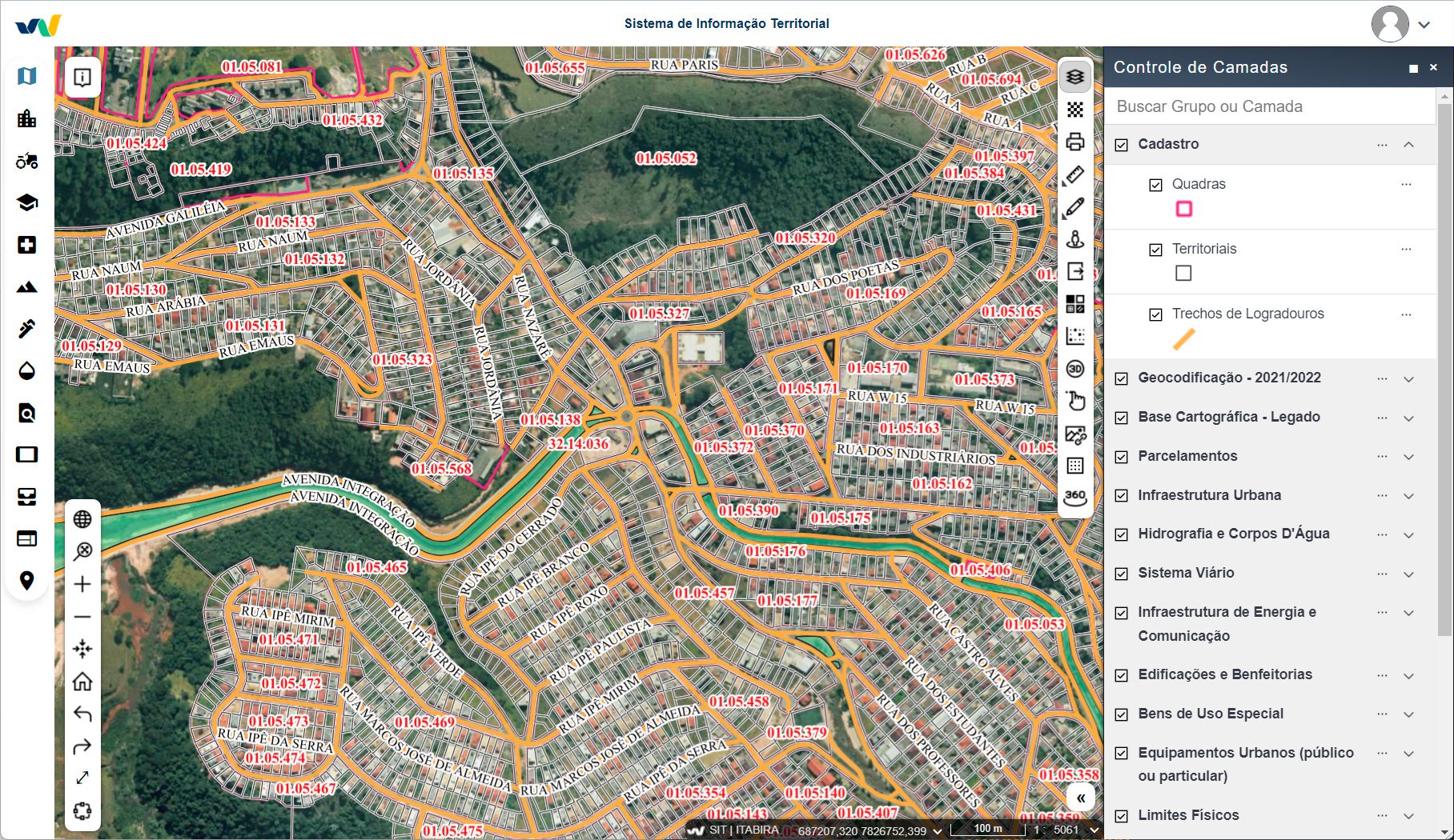
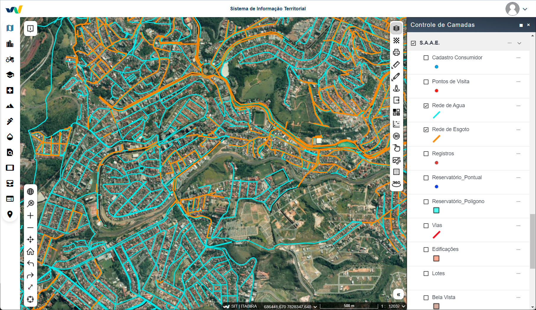
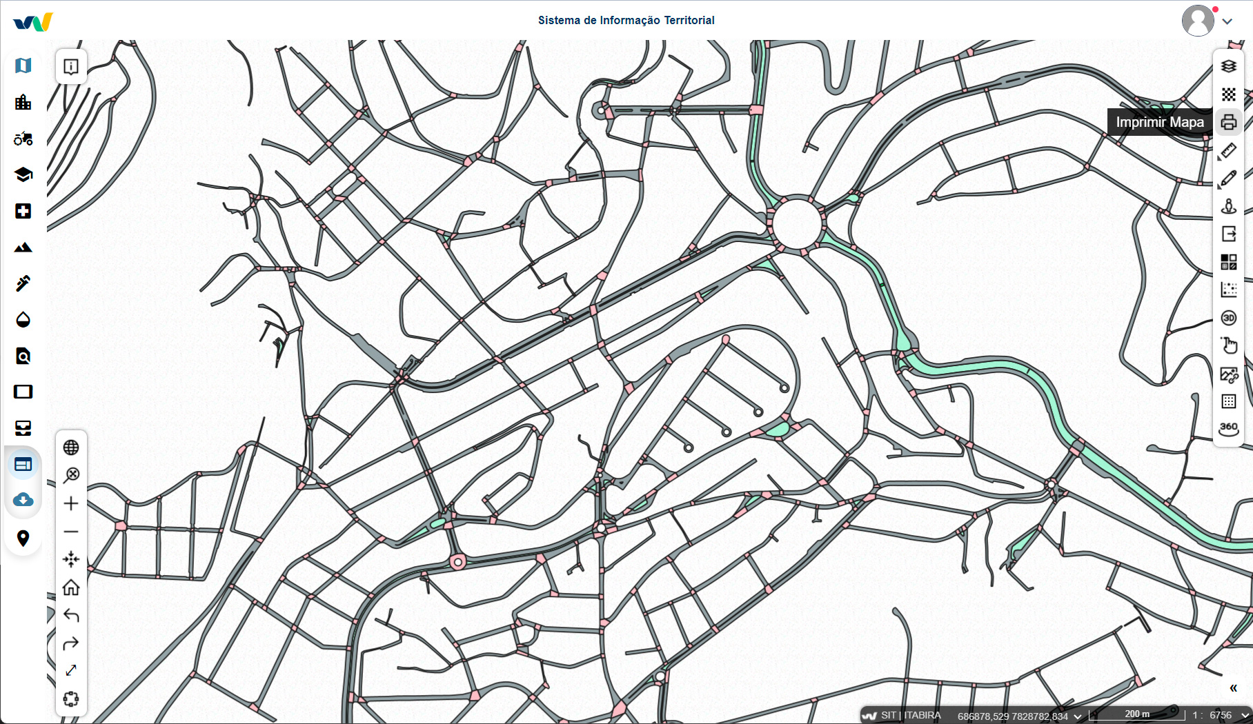
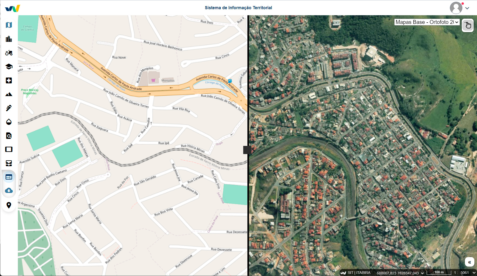
With the implementation of the system, Itabira began to unify urban and rural management, managing more than 65,000 urban properties and around 2,600 rural properties in an integrated manner on a single platform, connecting cadastral, cartographic and tax information in an intelligent and structured way.
– Centralize the territorial data infrastructure, ensuring a highly accurate cartographic base for both the city and rural areas;
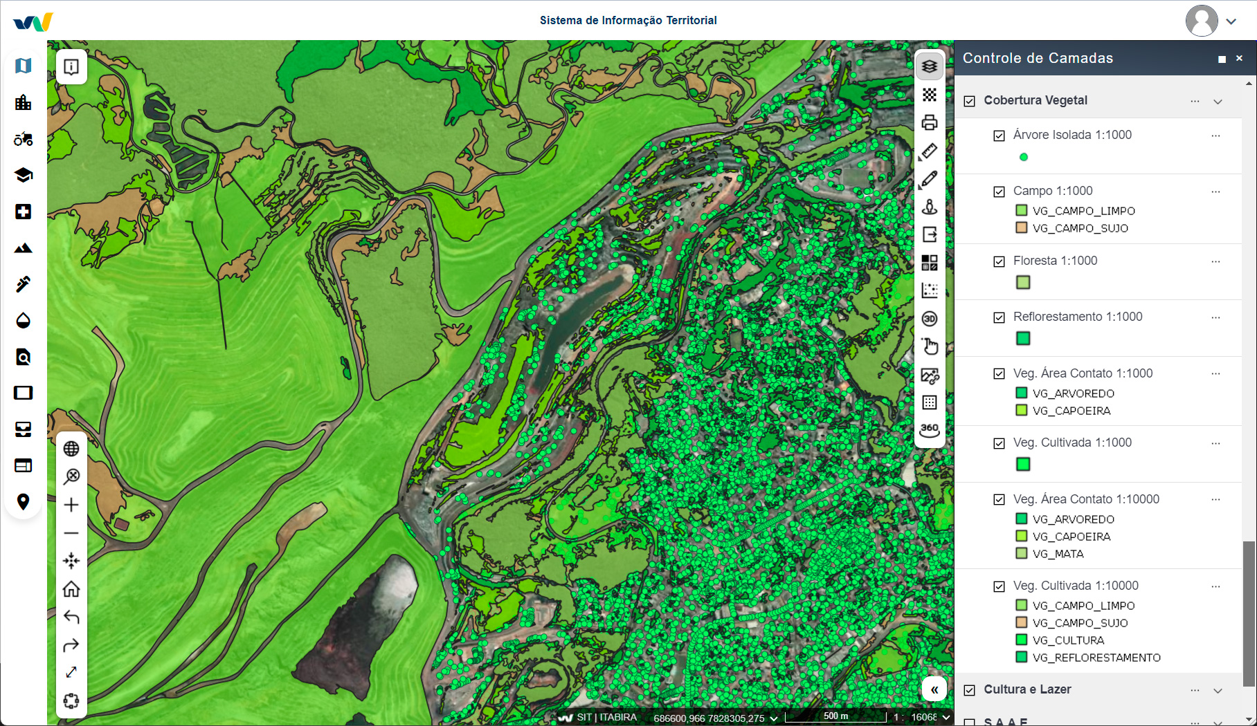
– Manage public policies on housing, the environment, mobility, agriculture and economic development with the support of updated georeferenced information;
– Monitor land use and occupation, promoting orderly and sustainable growth.
Itabira innovated with Geowise by implementing complete automation of installment processes, which brought significant gains:
– Drastic reduction in the processing time for area rectification, subdivision and unification of properties. Processes that used to take days to complete are now completed in seconds.
– Greater legal security, with automatic control of urban planning standards and cartographic records.
– Transparency and traceability in process analyses and approvals, facilitating the work of technical sectors and increasing citizen confidence.
Another distinguishing feature of Itabira was the direct integration between the georeferenced real estate registry and the municipal tax system. This provided:
– Automatic updating of taxable data based on spatial data and analysis.
– Reduction of inconsistencies and greater efficiency in the collection of IPTU, ITBI and municipal taxes.
– Gain in administrative efficiency with a 40% reduction in registration update time.
There are more than 110 thousand inhabitants in an area of approximately 1,253 km2 directly benefiting from this innovation.
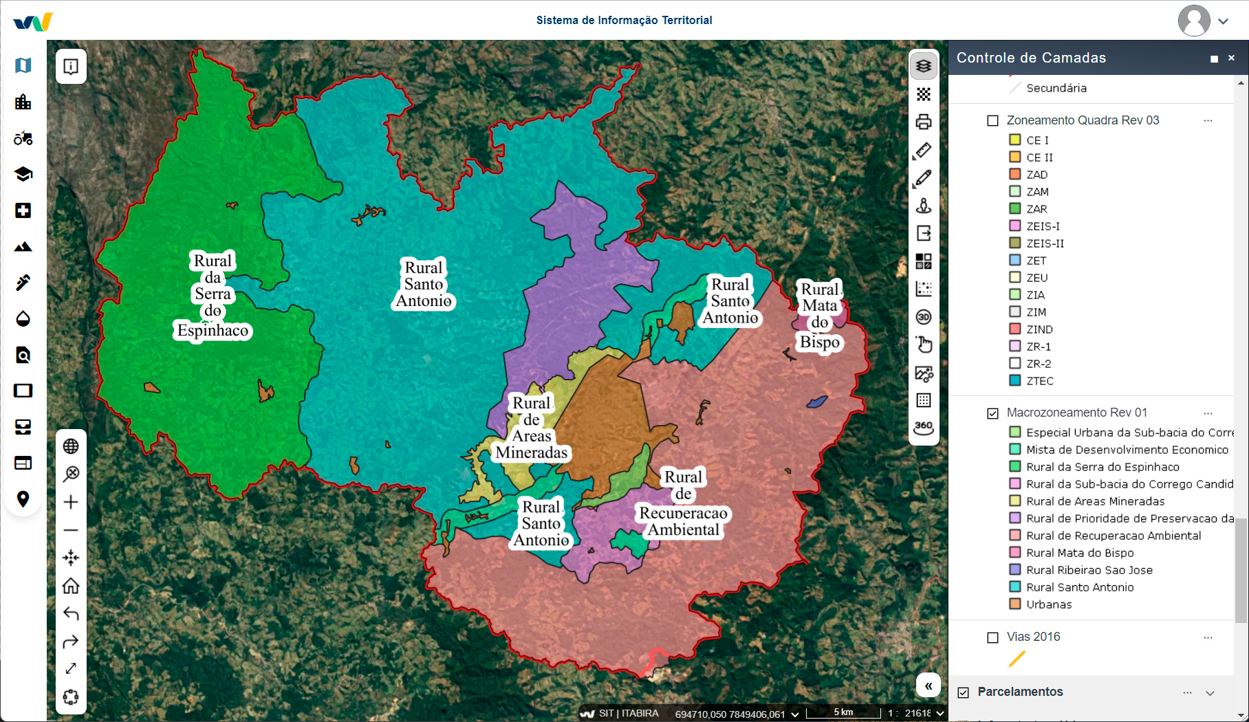
With Geowise, the automation of urban information consultation was implemented in Itabira, respecting:
– The guidelines of the Municipal Master Plan,
– The zones defined by land use and occupation legislation.
Now, technicians and municipal managers can directly access the system to consult basic information, check usage restrictions and plan projects safely and efficiently.
Speak to one of our experts to learn more about the new Geowise PLUS©.