


Multipurpose Territorial Management
Geowise PLUS is the synthesis of over 40 years of experience in serving municipal governments of all sizes. Much more than just land management software, with Geowise PLUS, municipalities adopt and implement an evolutionary, open, gradually integrated land management process, with interoperability and security.
Unprecedented agility in routine processes:
– Integrated cadastral update
– Unification and separation of land parcels
– Implementation of new subdivisions and condominiums
– Land regularization
– Tax and procedural audits
– Simple, georeferenced queries performed by citizens
Dramatic reduction in the time spent serving citizens with several automations available:
– Address update certificates
– Certificates of abutments
– Property descriptions
– Environmental queries
– Feasibility queries for installations
– And many others!
- Quais são as áreas suscetíveis a alagamentos, em que condições isso pode ocorrer, quem pode ser atingido em cada cenário e, em caso de urgência, como entro em contato com estas pessoas?
- Como está a distribuição dos alunos da rede pública de ensino em função da localização das escolas e disponibilidade de vagas para cada série ofertada?
- Como se dá a distribuição dos usuários de serviços públicos de saúde, qual a estrutura dos equipamentos urbanos com esta finalidade, onde estão localizados e para onde devemos direcionar determinadas demandas, visando agilidade e emprego correto dos recursos humanos e técnicos?
- Onde as infraestruturas urbanas podem ser insuficientes ou inadequadas para proteger a população em eventuais eventos extremos como deslizamentos, enchentes ou focos de incêndio?
- Onde estão e quanto representam as incoerências ou desatualizações cadastrais que impactam negativamente a arrecadação municipal?
Com dados bem trabalhados, estruturados e correlacionados no Geowise PLUS a administração acessa as respostas corretas para inúmeras perguntas. Faça a sua.
A perfeita integração entre os diversos setores e secretarias municipais é uma das especialidades Geowise PLUS. A experiência de mais de 40 anos atendendo prefeituras de todo o Brasil com serviços é o que possibilita designar Geowise PLUS como uma experiência, jornada ou filosofia, e não apenas como um software.
Conhecemos profundamente o funcionamento, fases e desafios da Gestão Territorial Multifinalitária e nosso pacote de soluções integra-se com plataformas legadas tais como as de Gestão Tributária. Em nosso caminho de implantação, realizamos modelagens profundas em bancos de dados, adequando as informações para que forneçam respostas relevantes para a governança.
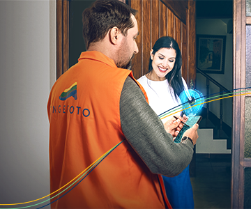
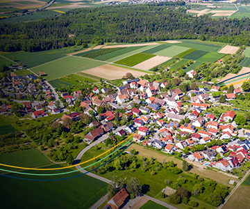
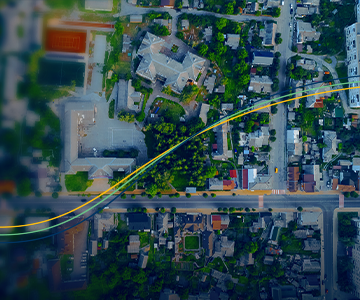
Geowise Coletor is the innovative solution developed by Engefoto to modernize field data collection. Fully integrated with Geowise Plus, it was designed to make the cadastral survey process simpler, more efficient and error-free, breaking with outdated practices such as manual notes and disconnected spreadsheets.
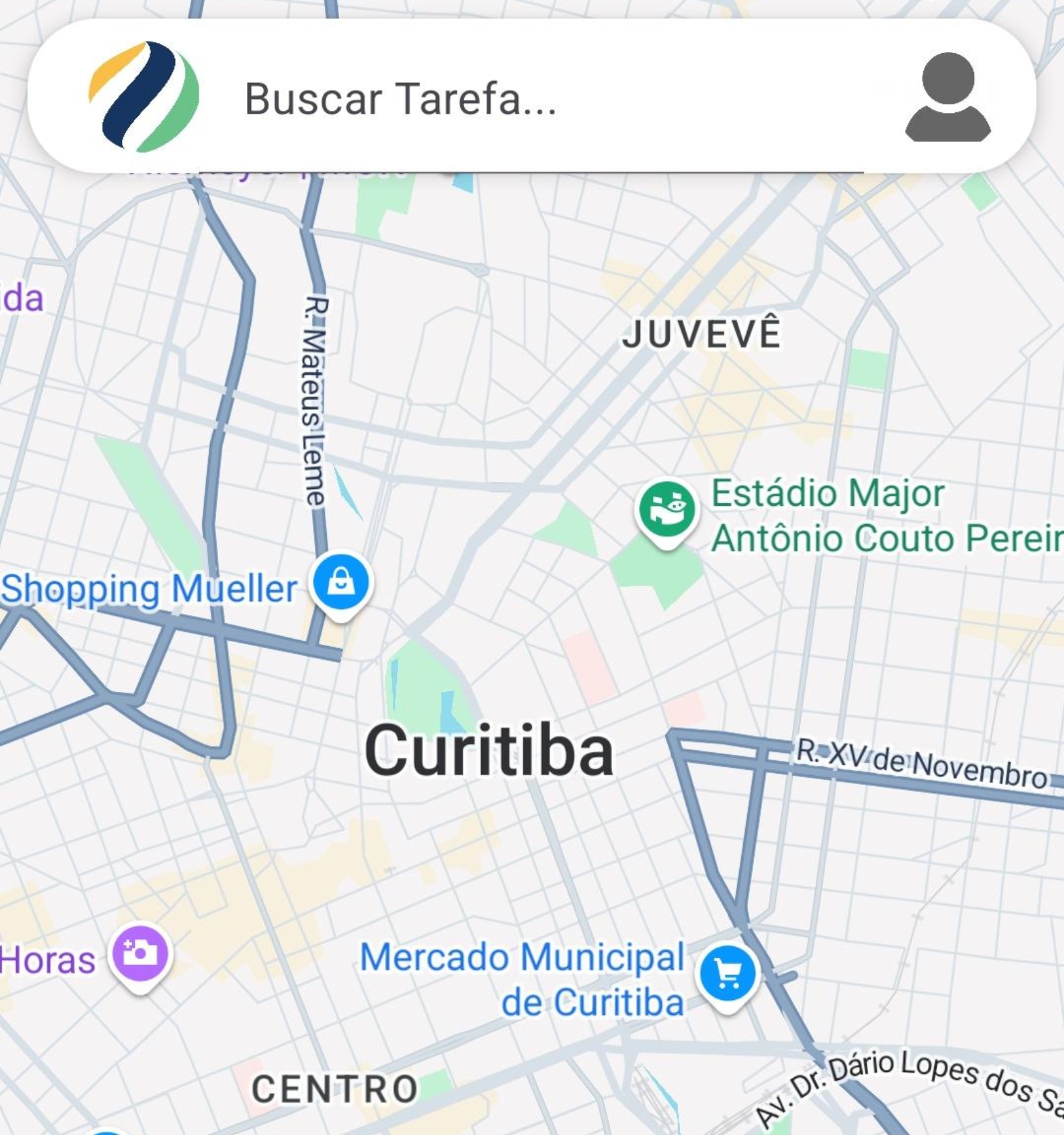
-Collection in 3 steps: Planning, Collection and Data Update, with automatic synchronization.
-Smart forms: Fluid and responsive interface for capturing information, photos, GPS location and other specific data, including offline.
– Kanban-type visual management: Allows you to track tasks from planning to approval, facilitating the management of field collections.
-Available for Android and iOS: Flexible for different devices and teams.
-Customizable: Configured to meet different themes such as real estate, health, urban infrastructure, road assets and much more.
-Eliminates transcription errors and data inconsistencies.
-Dramatically reduces the time for collecting and integrating information into the central system.
-Optimized for cloud and on-premise deployment, without the need for adaptations for different client modules.
– Prepared for continuous evolution, with future features implemented as demand dictates.
Geowise Coletor is the answer for those seeking quality, agility and innovation in the collection of territorial data, driving the digital transformation of cities and public services.


For 15 years, Engefoto has been working in the area of information systems development, having successfully delivered several geoinformation solutions in the most diverse areas of land management.
With unique know-how, gained through the training of highly technical professionals and experience in hundreds of projects executed with large state and private companies, in 2018 Engefoto began investing in the development of its own land management system.