


The Multipurpose Territorial Registry (CTM) is a system used to manage and record information related to properties and territories in a given region. It is an essential tool for territorial management, allowing the registration and organization of data on properties, territorial boundaries, land use, infrastructure, among other relevant aspects.
The main objective of the multipurpose land registry is to provide an accurate and up-to-date database that can be used by different sectors and institutions, such as government agencies, companies, researchers and urban planners. This comprehensive database allows for a holistic view of the territory, facilitating decision-making, urban planning, environmental monitoring, infrastructure management and sustainable development.
In the multipurpose land registry, information such as the geographic location of properties, their dimensions, territorial boundaries, ownership, land use (residential, commercial, industrial, agricultural, etc.), existing infrastructure (roads, water and sewage networks, electricity, telecommunications, among others) and other data relevant to land management are recorded.
The use of geospatial technologies, such as geographic information systems (GIS) and remote sensing, has facilitated the multipurpose land registry process, allowing for more efficient and accurate data collection, analysis and updating. Satellite images, topographic surveys and digital mapping tools are often used to map and identify the characteristics of the territory.
A well-structured and up-to-date multipurpose land registry brings several benefits to society. It enables better management of the territory, facilitating the identification of areas available for urban development, land regularization, infrastructure planning, environmental protection, among other aspects. In addition, it contributes to transparency and legal certainty by providing reliable and up-to-date information on properties.
In short, the multipurpose land registry is an important tool for land management and planning. By recording and organizing accurate information on properties and territories, it assists in decision-making, resource management and the promotion of sustainable development.
Discover the Best Value for Your Project!
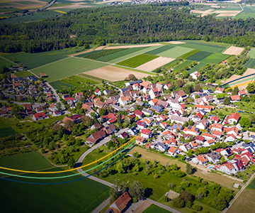
Unified urban and rural management with Geowise The city of Itabira, in the state of Minas Gerais, innovated public management by implementing Geowise, comprehensively modernizing the administration of its entire territory. With the implementation of the system, Itabira began to unify urban and rural management, managing more than 65,000 urban properties and around 2,600 rural […]
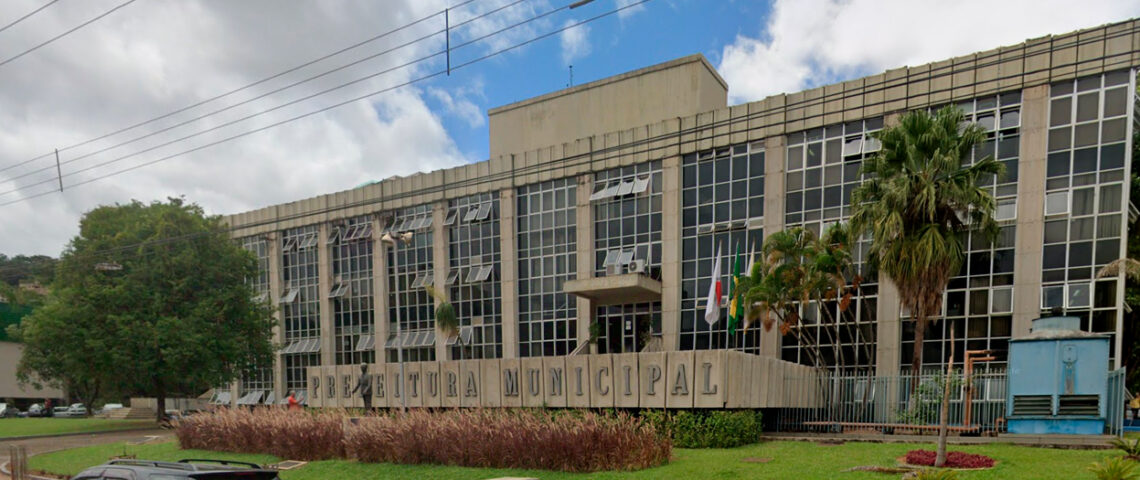
Geowise: integration, innovation and diversification in the application of geotechnologies in Ribeirão Preto: Ribeirão Preto is one of the most significant economies in Brazil and one of the municipalities with the highest GDP and HDI in the State of São Paulo, which is innovating public administration with Geowise. The municipality implemented an integrated territorial management […]
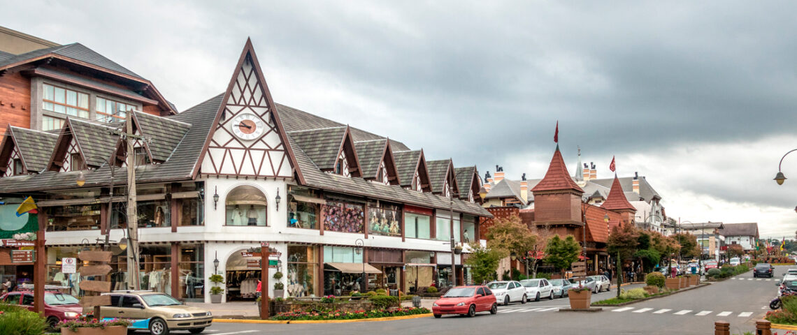
Geowise: intelligent data integration and modernization of public administration Gramado, one of the most important tourist hubs in Brazil, took a fundamental step in the modernization of public administration with the implementation of Geowise. The municipality has acquired a robust geoinformation platform, which integrates cartographic, cadastral, urban and fiscal data in a single digital environment, […]