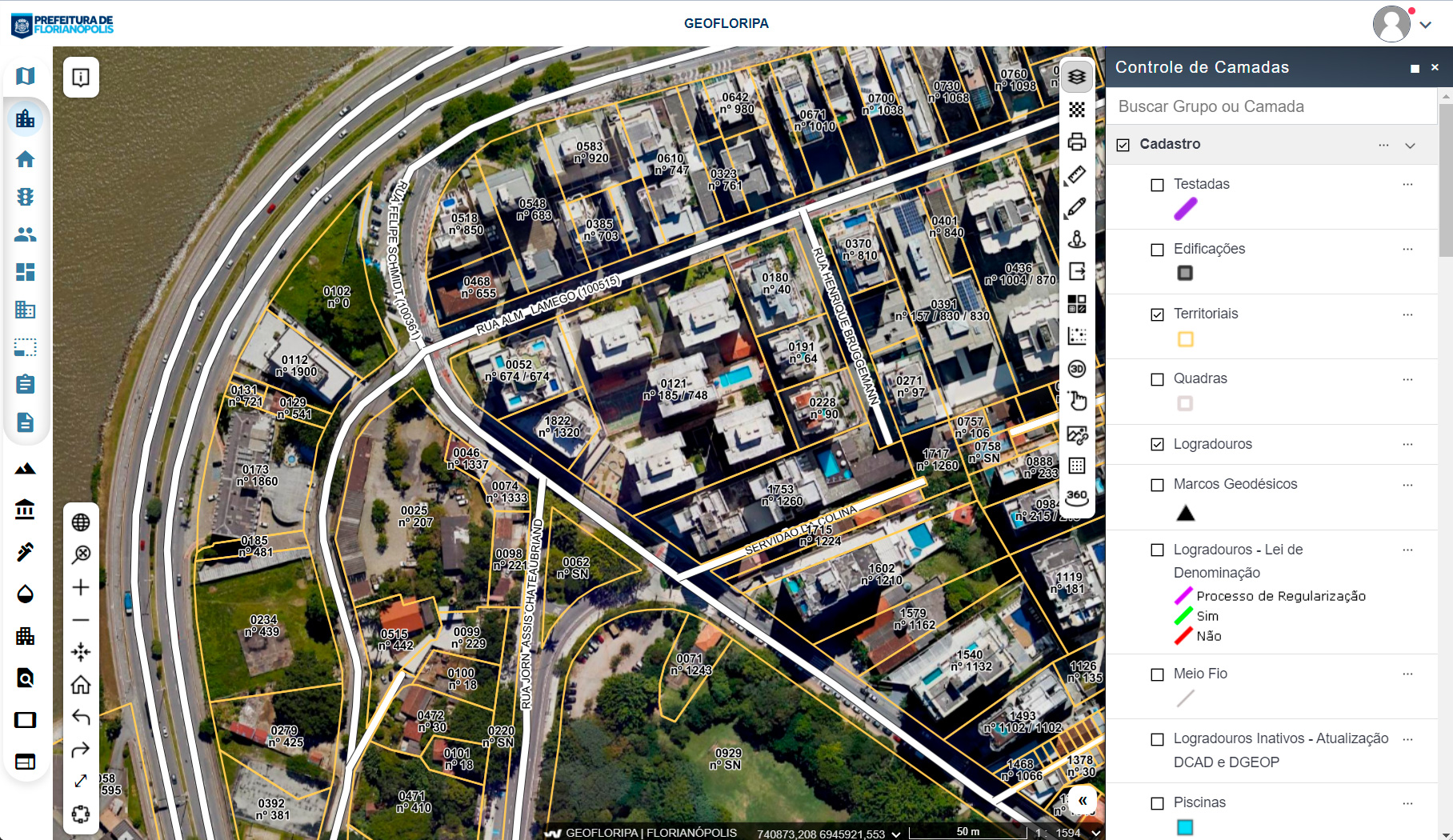


Geowise is the basis on which the Florianópolis Municipal Urban Information System was implemented, promoting the integration of geographic, urban and other information, enabling more efficient, participatory and transparent urban management.
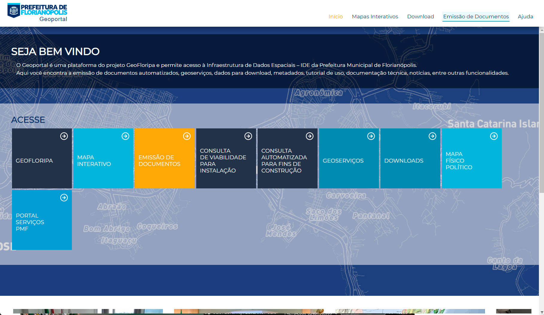
Named GeoFloripa, the project was the foundation for the creation of the Florianópolis Geoportal (geoportal.pmf.sc.gov.br), which concentrates diverse cadastral, territorial and urban information, with easy and intuitive public access.
– Reduction of over 60% in the time taken to respond to urban planning requests, thanks to direct access to updated data.
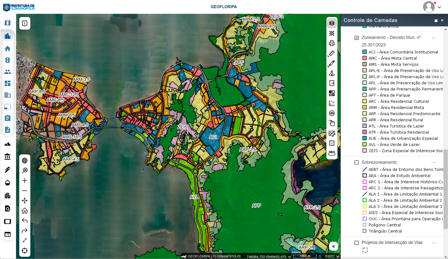
– Optimization of urban planning, with greater objectivity and assertiveness in zoning and land use analyses.
– Reduction in the time taken to issue urban planning certificates from days to seconds.
– Ease of data integration for municipal departments, providing faster and more informed decisions.
– Opening of companies in up to 4 hours thanks to the power of integration between systems.
– Fiscal transparency offering support for all real estate registration updates and service to citizens. Geowise also assists in reviewing and maintaining IPTU values, without the need for costly manual processes.
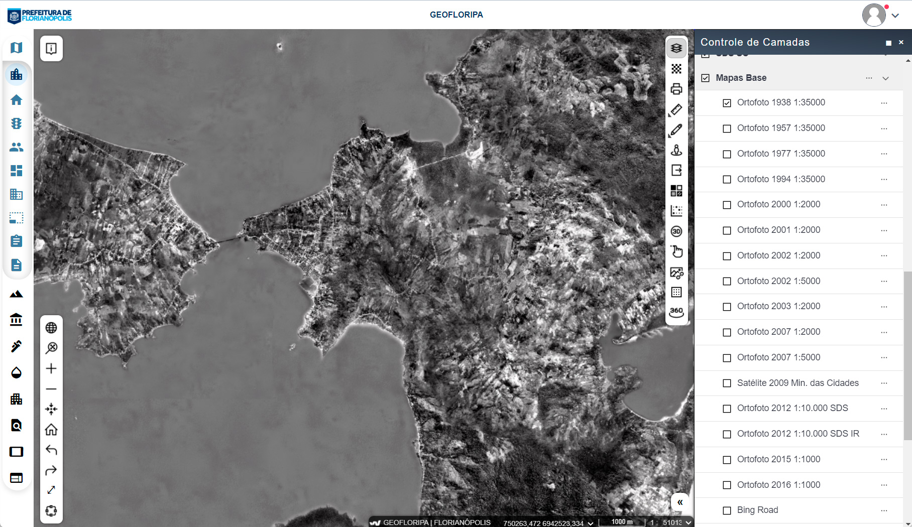
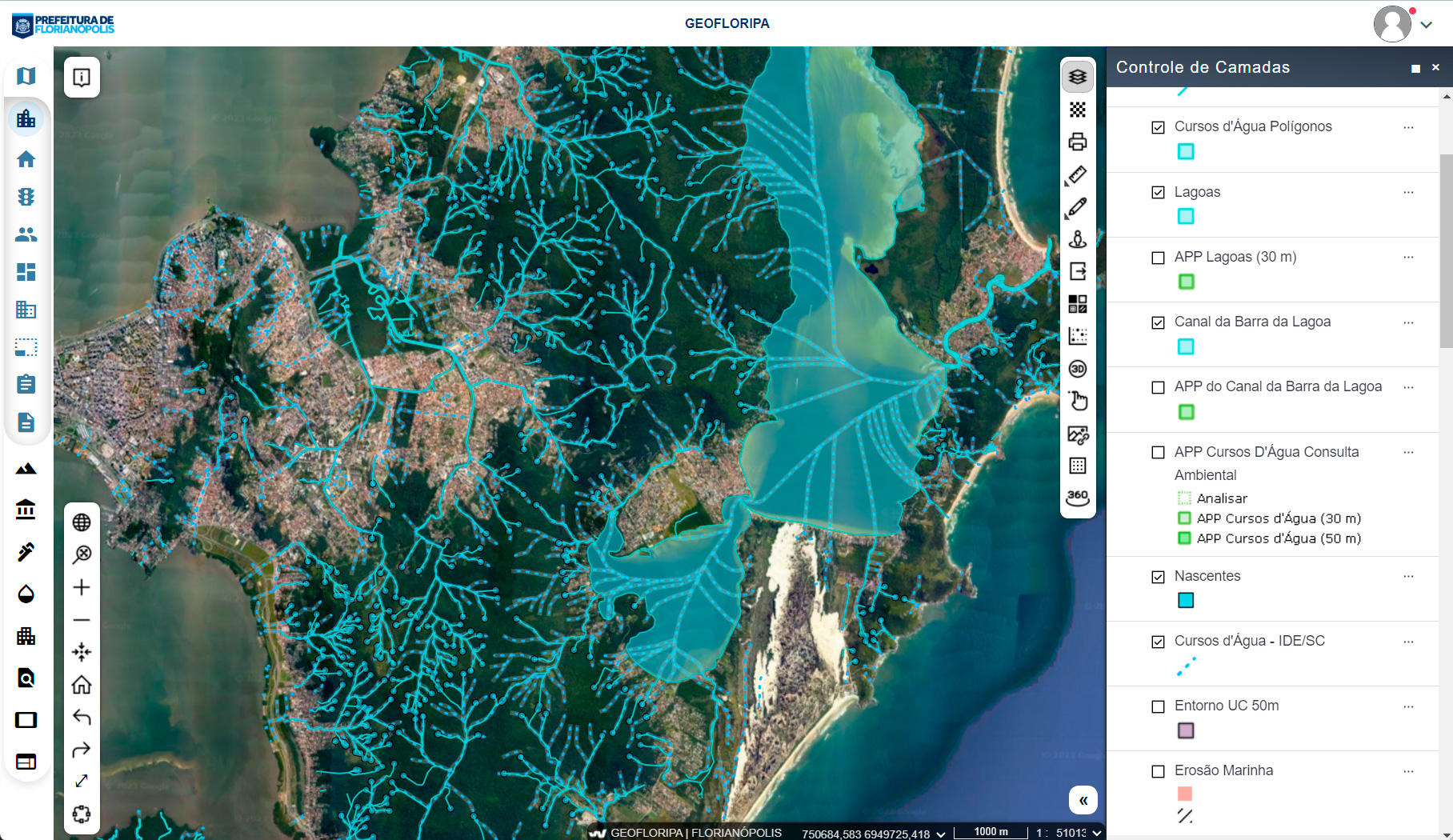
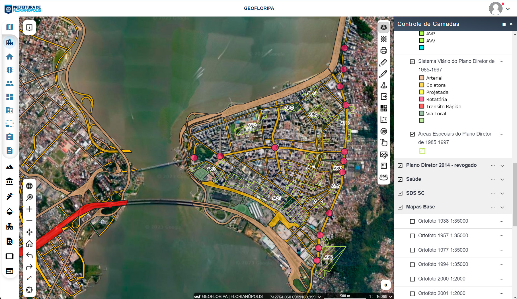
– More than 180 layers of information available for public consultation, including data on urban infrastructure, mobility, environment, zoning and others.
– Integration of data from multiple departments, such as Planning, Environment and Finance.
– More than 400,000 properties managed in an integrated manner with the municipality’s tax system.
– Regular updates (internal and external data sources) including socioeconomic and demographic data to be made available on the portal.
– Online issuance of land certificates and urban viability consultation.
– Permanent focus on technological innovation, administrative efficiency, interoperability and security guiding the progression of the platform’s development.
Speak to one of our experts to learn more about the new Geowise PLUS©.